HOME | DD
 greenmustache — TGO: Color Map 3
Published: 2012-05-09 21:44:38 +0000 UTC; Views: 1145; Favourites: 19; Downloads: 11
Redirect to original
Description
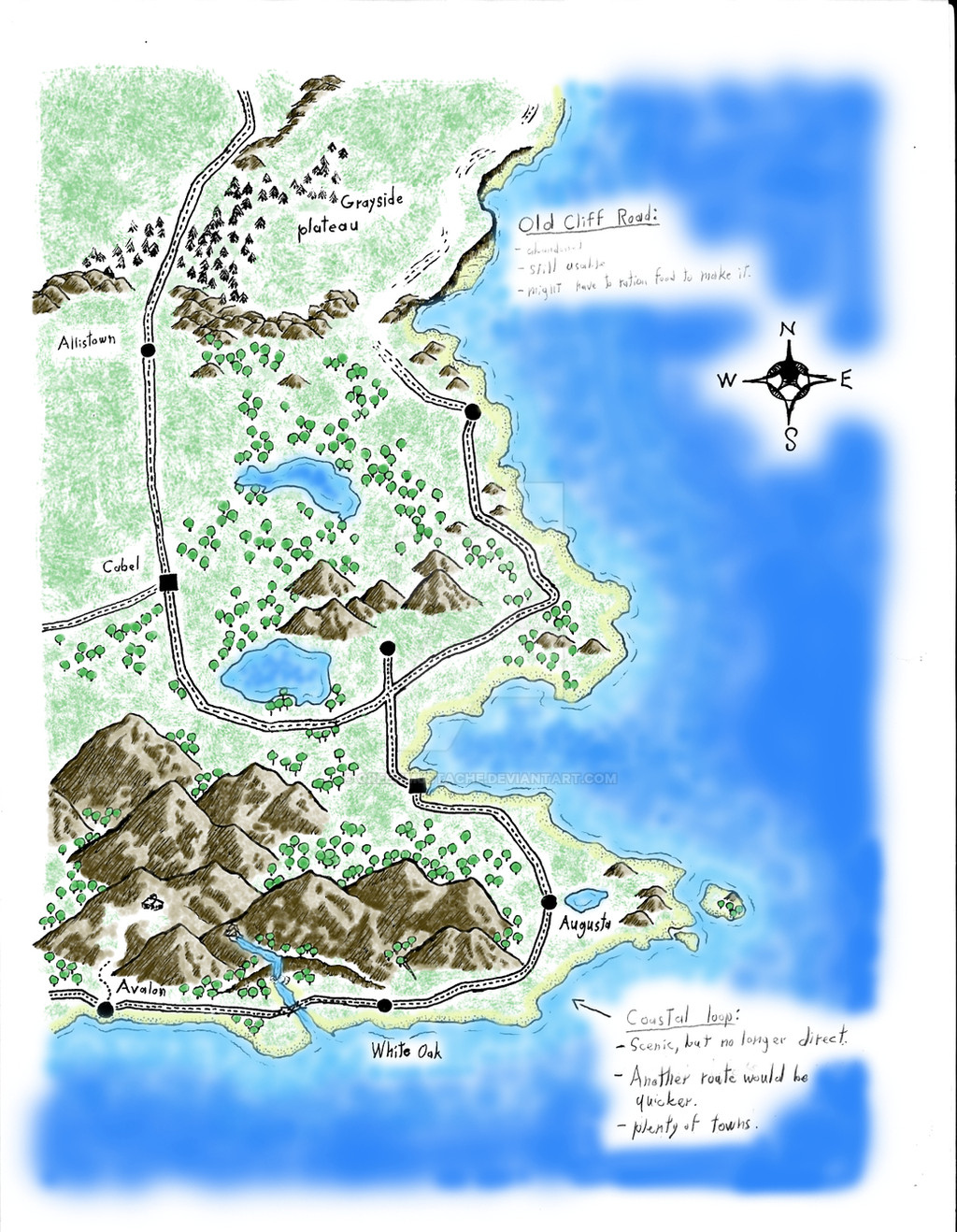
The third and final page of the colored map. I have continued to draw more pages, but I will not be uploading these, colored or uncolored, because it would become too confusing. Also, please remember that I wasn't thinking this map out in advance, so some places (like the cabin) are out of proportion or scale or whatever. The cabin is supposed to be within a three or so hour walk of Avalon, but it looks like it's several days walk away. Derp.Top Page: [link]
Middle Page: [link]
Bottom Page: (you are here)
or, read the story these maps are for: [link]
Old Cliff Road:
Abandoned after a hurricane devastated the coast, the cliff road quickly fell into disrepair. It mostly weaves on the edge of the cliffs, but is close to the water at other points.
[link]
Grayside Plateau:
This large plateau made it difficult to get supplies to the towns along the Cliff Road, resulting in them being abandoned after the hurricane. The north side of Grayside is occupied by a national park (See map #2).
[link]
Avalon:
All things considered, Avalon is a nice place to be. Warm weather, beautiful scenery, beaches; what else could you want? The area is quiet and laid back, but if you're into that kind of thing, put Avalon on your vacation list. (No relation to Avalon, New Jersey)
[link]
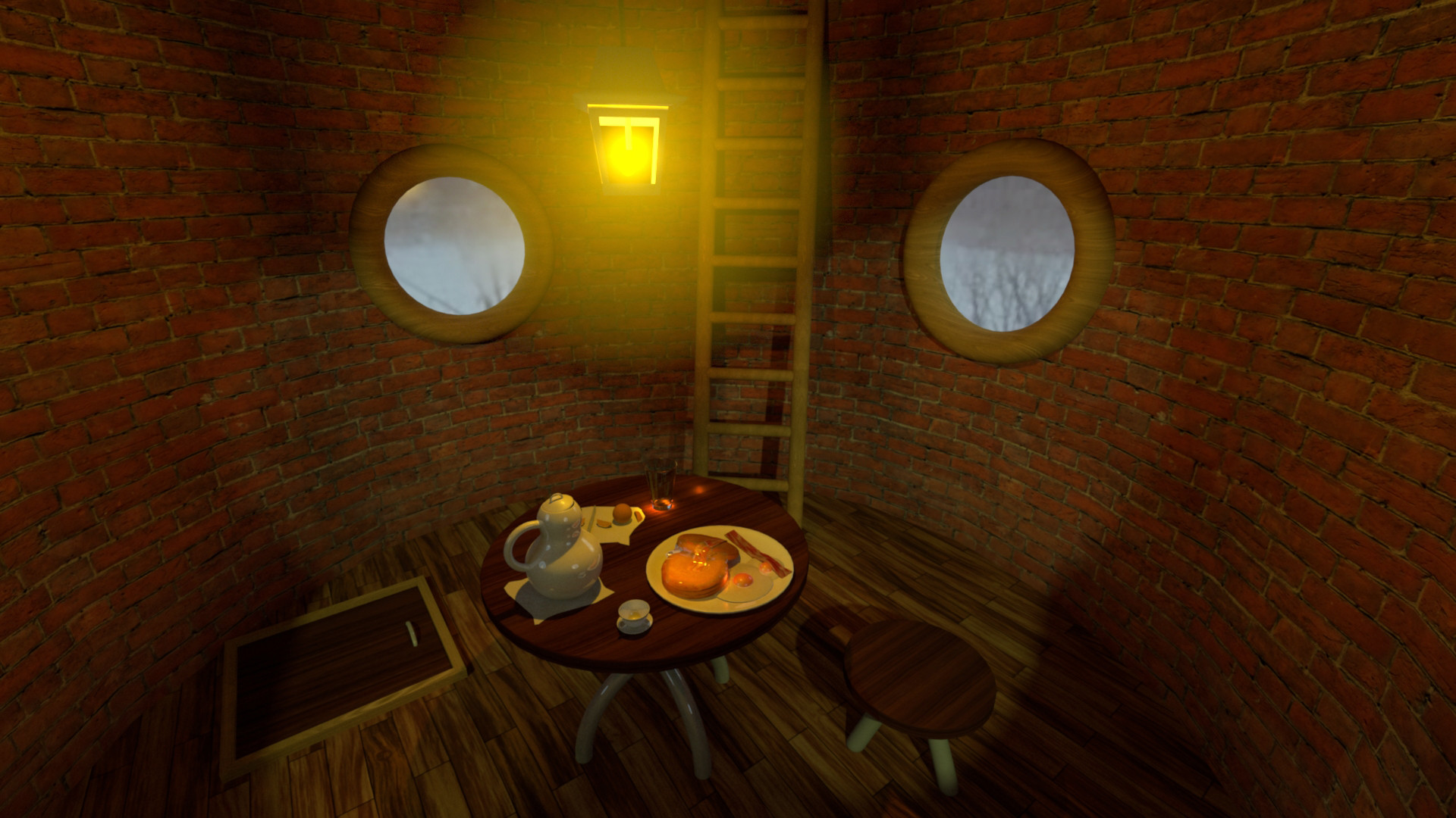
The Cabin:
Just a short walk from Avalon, the mountains behind the town used to be a national park, but with dwindling funds the park service eventually closed it down. The lower slopes are still open to hiking, but no one is maintaining the upper trails, so they and the overnight hikers' cabin are empty of people. Still, that cabin is in good shape, and it's ready and waiting for someone to occupy it again :3
[link]