HOME | DD
 MillerTheCockroach — Japan Map
#japan #japanflag #volcano #japanmap #japanislands
Published: 2024-03-16 00:24:31 +0000 UTC; Views: 419; Favourites: 1; Downloads: 0
Redirect to original
Description
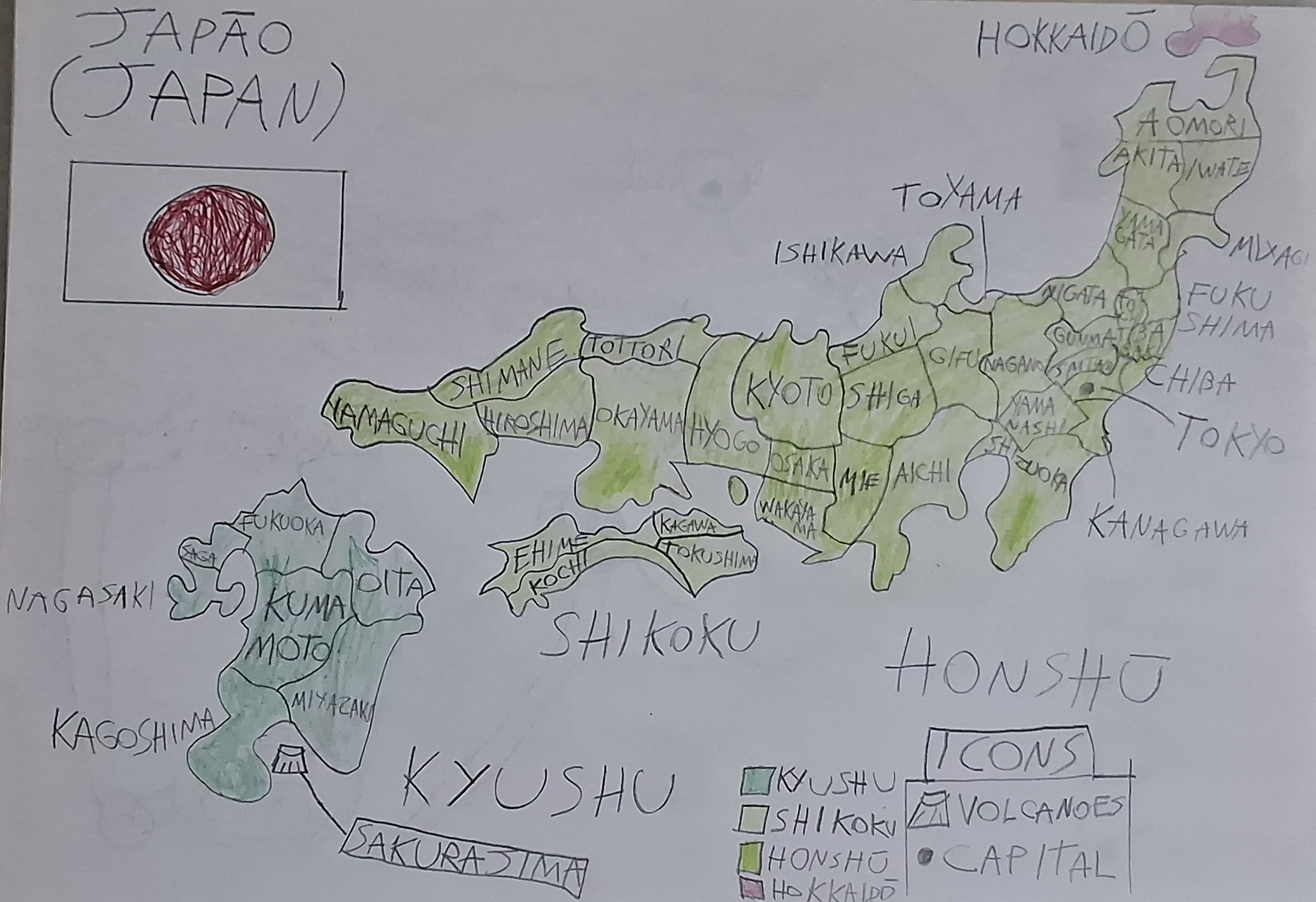
I decided to draw a map of Japan showing its prefectures (Okinawa is not added due to lack of space), divided into each of the 4 main islands of Japan: Kyushu, Shikoku, Honshu and Hokkaido (formerly Yeso), each represented with a color for emphasis:- Kyūshū (九州): Dark Green
- Shikoku (四国): Light Green
- Honshū (本州): Very Light Green
- Hokkaidō (北海道): Light Red
I also added the Sakurajima volcano, belonging to Kagoshima prefecture, on the island of Kyushu, I intended to add more volcanoes, but I didn't want to add more so as not to mix with the names of Japanese prefectures. Give your opinion on my drawing of the geography of Japan!