HOME | DD
 ProtoTypedKnife — World Map of Renleixue's Paper Mario: World at End

Published: 2013-12-13 21:11:11 +0000 UTC; Views: 1834; Favourites: 9; Downloads: 1
Redirect to original
Description
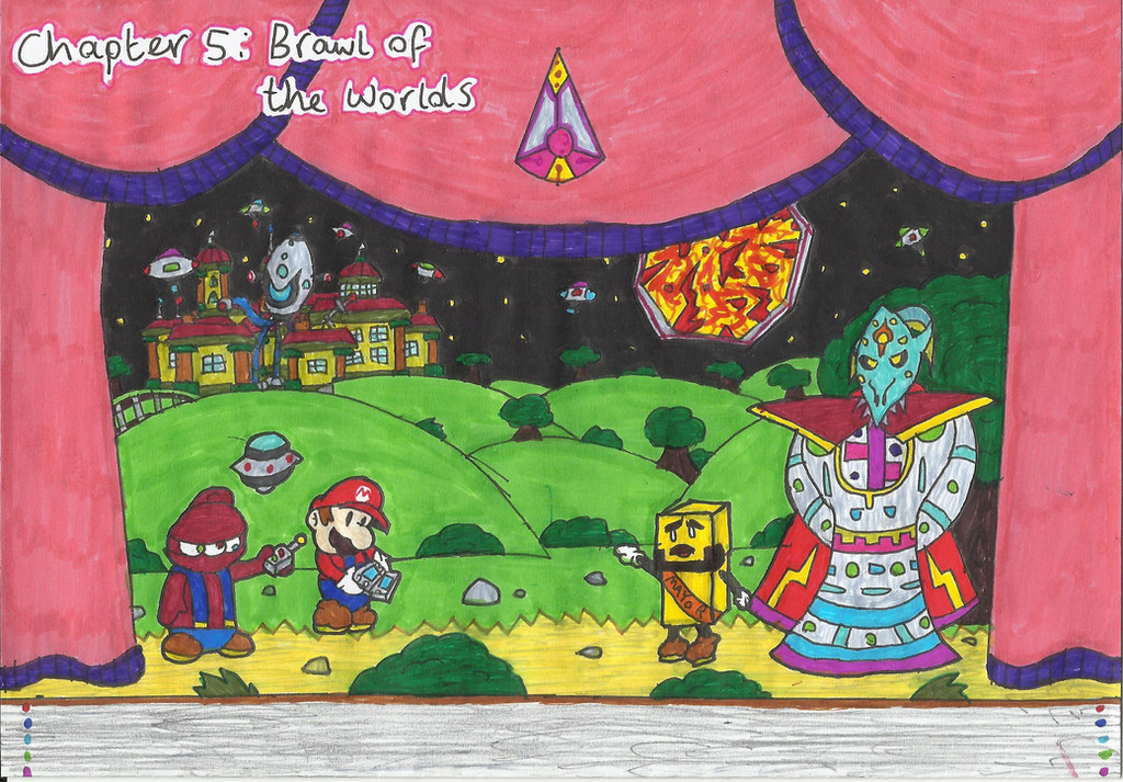
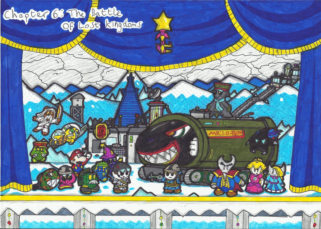
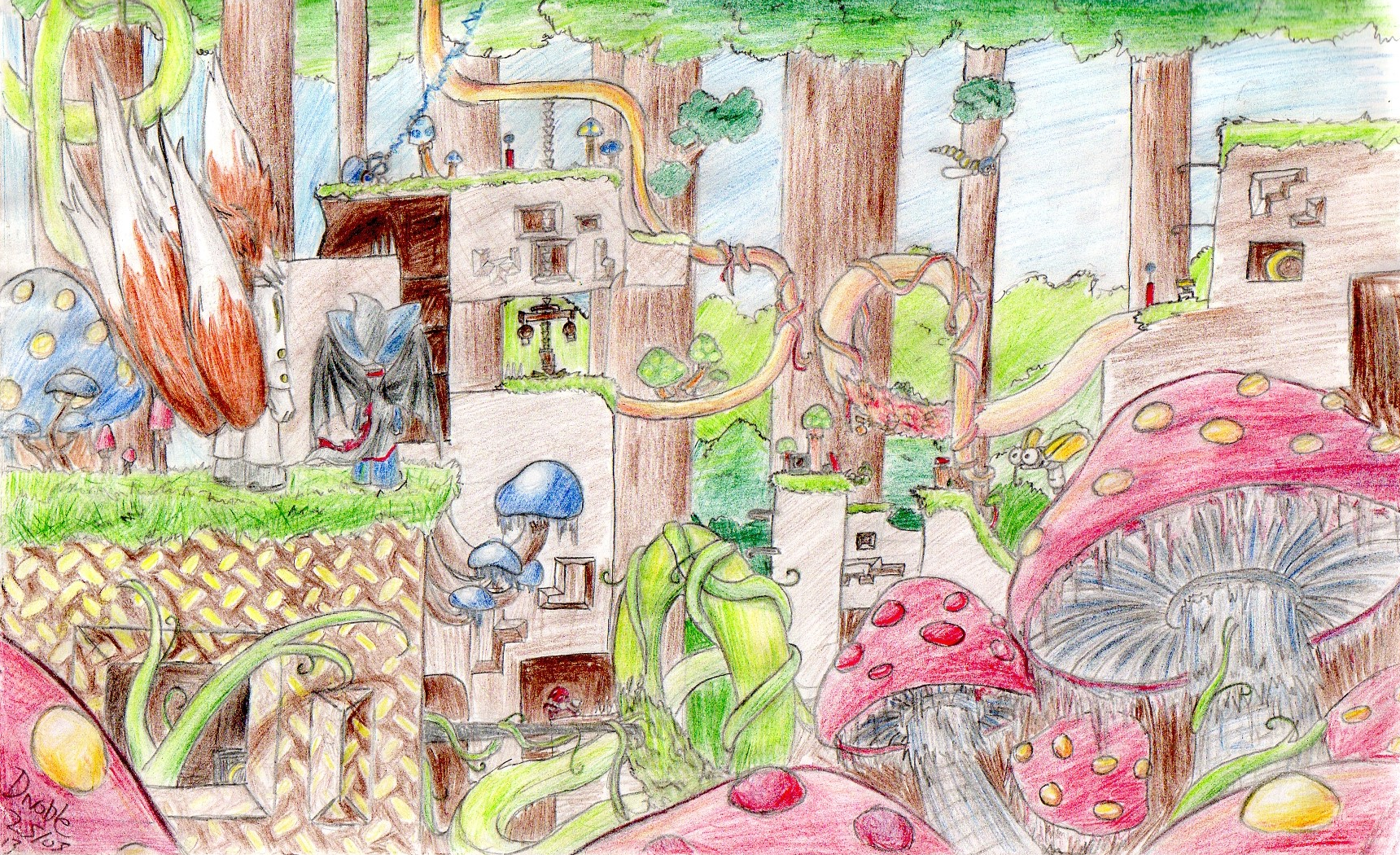
Ergh... so... how can I put this? I decided to take the liberty of illustrating what I imagined the world map of Renleiuxe 's Paper Mario fangame: World at End (which is amazing btw)
Anywayz, I'm sure... I mean, I KNOW that I've screwed up probably at least half the locations in terms of where they are on the map, but I suppose that this is just a map of how I personally imagined the world map to look... so, here's the key (If you can even call it that):


 (Smile)")

And Finally,

Also, those open fields are just what I imagined to be an overworld of sorts...
...So yeah that's it... honestly, I probably should have read through the story a second time before attempting a world map but, I suppose this could be consider "just something I decided to draw because I had nothing better to do"
")
Yep! I can't really say much else other than how much I completely screwed this drawing up

That's all, Ta-tah!